


|
|
|
|||
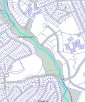
Anacostia Tributary Trail System Interactive Map |
Measure distance along a path of points |
Find the lat/lng |
Find North American location from lat/lng |
Park & Planning |
Montgomery County |
Signbox Locations |
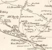
1917 Historic Map |
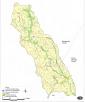
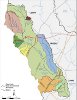
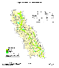
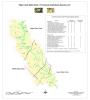
Sligo Watershed |
1948 Historic |

|

|
|
|
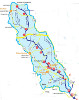
| Friends of Sligo Creek Sections & Topo Maps |
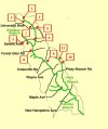
Find your Sligo Creek Section |
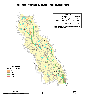
Map of Sligo Watershed COG |
Map of Sligo Watershed ICPRB |
|
|
|
|
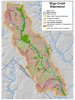
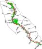
| Special Features Sligo Creek Trail |
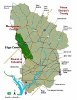
Anacostia Watersheds |
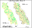
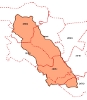
Sligo Subwatersheds |
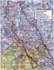
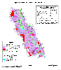
Street Map of Sligo Watershed |
|

|
|
|
| Hiker/Biker Trail | Park & Planning Maps | Historical Forest Cover | 1997 Forest Cover |
|
|
|
|
| Historical Wetlands | Land Use | 2002-4 Trash Surveys | Amphibians Species List |
|
|
|
|
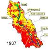
| 1879 Historical Map | Land Use in Sligo Creek Animated Map 1937-2000 |
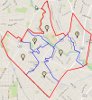
Zip Codes in the Sligo Watershed |
Sligo Park Boundaries |

|

|
|

|
| SCA Survey of Sligo | Northwood Chesapeake Bay Trail | Ward Map of Takoma Park | Bennington Outfall Drainage Area |
|
|
||
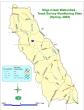
| Stormwater Management Map |
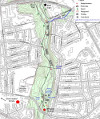
Guide to Sligo Creek Stream Valley Park |
||