

How Sligo Park Came To Be
|
|
How Sligo Park Came To Be |
|
| In 1927 a group of environmentally concerned citizens formed and wanted to protect all of the headwaters which were flowing into DC. The people in this group were the founding fathers of Maryland-National Capital Parks and Planning, which they established in the year of 1927. | ||
"Sligo Creek Park was formally developed as a result of the Capper-Crampton Act of 1930, which provided $1.5 million in federal funds to pay for parkland along tributaries of Rock Creek and the Anacostia River. Much of the land acquired for the park was donated by adjoining property owners such as E. Brooke Lee"
(North Hills of Sligo Creek, Sally Gagné, pg. 167).
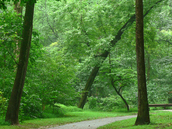
The main reason most of this land was available for the park was it was considered useless to developers in this time period. The width of the park represents the flood plain of Sligo Creek. In the early ages of development most companies would not build on flood plains or steep slopes because it was not optimal land for buildings. Where there are large high rise buildings along the park there tend to be what are called military ridges, which are steep banks covered with trees. These allow for the park goers to enjoy the natural beauty of undeveloped nature while also allowing the apartments to have a view of the park. The land total acreage of Sligo Creek Park was obtained over time through the purchase of lands and land acquisitions.
M-NCPPC decided to split the park into units. The units were decided using large roads which separated areas of the park. The acreage of the park is determined by adding up the acres on the deeds to the land which make up each section of the park. These are then written on 4 x 6 cards and kept at parkside headquarters. Since the age of the computer, this information has also become stored on a database. The park has been broken up into 6 units and various local and neighborhood parks. The 6th unit, 1a, was created when the county line between Prince George's County and Montgomery County was moved, giving Montgomery County more park land. Prince George's County gave the entire Sligo Creek Stream Valley one Unit, five, which consists of 78.6 acres. This acreage also includes two Community Recreation Centers named Parklawn and Green Meadows. Sligo Creek Park is 543 acres in total, including the Sligo Creek Public Golf Course. However, since Friends of Sligo Creek works outside the stream valley slightly we actually do work on 613.9 acres of Maryland Parks.
Click on the following links to see a map of that unit in a separate window.
Unit 1a: The County Line to Just below Chaney Drive. 17.6 acres
Unit 1: Chaney Drive to Piney Branch Road. 36.8 acres
Unit 2: Piney Branch Road to Colesville Road. 39.4 acres
Unit 3: Colesville Road to Just Past the Beltway Overpass. 73.5 acres
Unit 4: Just Past the Beltway Overpass to University Boulevard. 107.6 acres
Unit 5: University Boulevard to Arcola Avenue. 90.1 acres
PG Unit 5: The County Line to the Streams Confluence with Northwest Branch. 78.6 acres
Also Friends of Sligo Creek does work in the Takoma Park and Long Branch, which are considered separate entities by M-NCPPC. The Long Branch Stream Valley is broken into two sections, upper and lower. The lower section is then split into two units. The upper section is considered a neighborhood park. There are also two other neighborhood parks and two local parks attributed to Long Branch.
Click on the following links to see a map of that section in a separate window.
Takoma-Piney Branch Local Park: Located behind Piney Branch Elementary School and including the end of Darwin Avenue. 12.7 acres
Lower Long Branch Unit 1: Carroll Avenue to Piney Branch road. 13.4 acres
Lower Long Branch Unit 2: Piney Branch Road to East Melbourne Avenue. 13 acres
Upper Long Branch Neighborhood Park: East Melbourne Avenue to Approximately 200 feet above the intersection of Hamilton Avenue, Wilmer Street, and Seminole Street. 1.7 acres
Long Branch Arliss Neighborhood Park: Located Behind the Long Branch Library. 6.2 acres
Long Branch Garland Neighborhood Park: Located at the intersection of Doer Avenue and Garland Avenue. 3.8 acres
Long Branch Local Park: Located on Piney Branch Road 400 feet before Barron Street. 14 acres
Long Branch Wayne Local Park: Located just before the intersection of East Wayne Avenue and Route 193. 6.1 acres
The Sligo Creek Park also has two parks and five neighborhood parks associated with the watershed.
Click on the following links to see a map of that park in a separate window.
Arcola Local Park: Behind the Washington Christian School, and connecting to unit 5 of the park. 4 acres
Becca Lilly Neighborhood Park: Located off Merwood Avenue in Unit 1 of Lower Long Branch. 2 acres
Colt Terrace Neighborhood Park: Located off Colt Terrace Avenue in unit 5 of the park. 5 acres.
Dale Drive Neighborhood Park: Located at the intersection of Dale Drive and Hartford Avenue in unit 2 of the park. 2.3 acres
Sligo-Bennington Neighborhood Park: Located Between Greenbrier Drive and Ellsworth Drive on Bennington Lane in unit 2 of the park. 6.3 acres
Sligo-Dennis Local Park: Located 700 feet past the intersection of Dennis Avenue and Sligo Creek Parkway in unit 4 of the park. 5.3 acres
Sligo Cabin Neighborhood Park: Located on Wayne Avenue 700 feet from the intersection of Wayne Avenue and Mansfield Road in unit 2 of the park. 1.3 acres
Sligo Creek North Neighborhood Park: Located at on Sligo Creek Parkway just past the intersection of Sligo Creek Parkway and Flower Avenue. 1.3 acres
Sligo Creek Public Golf Course: Located on Sligo Creek Parkway in unit 4 of the park. 71.9 acres
Unless otherwise stated, all material on Montgomery County is based on maps from, and conversation with, Gene Elliott, Senior Park Planner, M-NCPPC. All materials on Prince Georges County are based on maps from Eileen Nivera, Planner-Coordinator, M-NCPPC.
Lea Bonfiglio
July 2005