
Guide to Sligo Creek Stream Valley Park
This guide has been developed to help the user better appreciate the natural and historic features of the park and adjacent areas. Often there exist deeper treatments of topics touched on in the guide that can be found on the Friends of Sligo Creek webpage (fosc.org) or elsewhere. These are generally noted in the text. The guide follows Sligo Creek from its headwaters to where it joins the Northwest Branch of the Anacostia River after flowing better than eight miles. To fully enjoy your visit to the park, please go slowly, carry lots of guidebooks, and wear sensible footwear. If you have comments on the guide, please send them to naturalhistory@fosc.org.
I am deeply grateful to Clair Garman and other members of the Friends of Sligo Creek for their help with the guide and maps. However, do not blame FOSC or any part of the Montgomery County Government for any errors, omissions, bad advice, or other quibbles you may have with the guide. I take all responsibility for that.
------------------------- Bruce A. Sidwell September 8, 2016
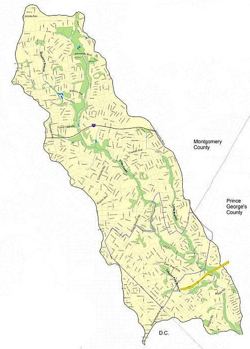
There are ten maps in this trail guide; each has its own guide. Select from the list below.
Headwaters to University Boulevard - Map 1
University Boulevard to Dennis Ave - Map 2
Forest Glen to Colesville Rd - Map 4
Colesville Rd to Wayne Ave - Map 5
Wayne Ave to Piney Branch Rd - Map 6
Piney Branch Rd to Maple Ave - Map 7
Maple Ave to New Hampshire Ave - Map 8